Bjørndalen is a valley situated in the southwestern part of Spitsbergen, west of Longyearbyen. The U-shaped valley was formed by glacial erosion.
In the middle runs a strong river, fed by glacial and snow meltwater and can be difficult to cross during the summer months. The mountain slopes on the
sides of the valley are dominated by loose rocks from talus deposits and inhabited by large populations of little auks foraging in the sea outside of
Bjørndalen. At the entrance of the valley, we find the exit of the coal mine, Mine 3 (Gruve 3). Large waste piles of rocks leak heavy metals which
influence the area.
Since the main direction of snow drifts is from the SSE snow accumulates on the eastern side of the valley and snowfields
can be found perennial or are melting out late during the summer season. This gives rise to vet conditions dominated by snowbed vegetation whereas on the
drier parts several grass species are growing. On the more exposed ridges with thin snow cover
Dryas octopetala grows together among other species with
Lutzula confusa, Draba sp. and Papaver dahlianum.
The University Centre in Svalbard have also several terrestrial and marine biological research projects running in Bjørndalen and in the coastal waters outside
Bjørndalen. The aim with this local field laboratory is to understand how the Arctic systems are structured, linked and functions under long-term environmental
and climatic changes. A weather station is located in the valley which provides information about the wind, temperature and irradiation. More information about
the different projects running at Bjørndalen is found at the UNIS homepage Bjørndalen Integrated Gradients (BIG).
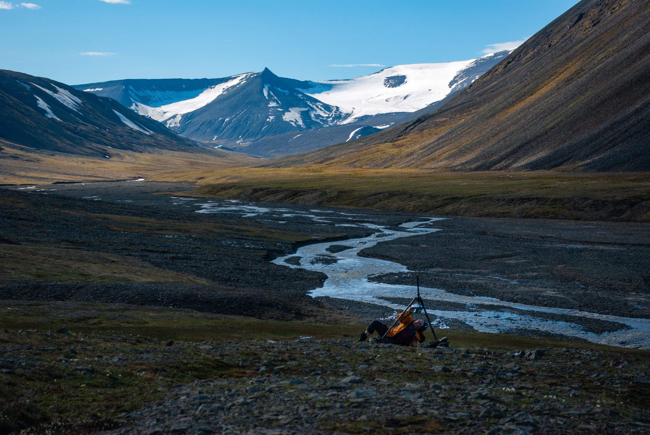
Installing timelapse camera in Bjørndalen during summer. Photo 2020 Simen S. Hjelle.